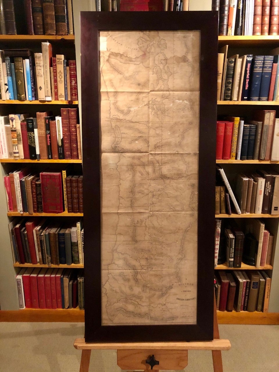
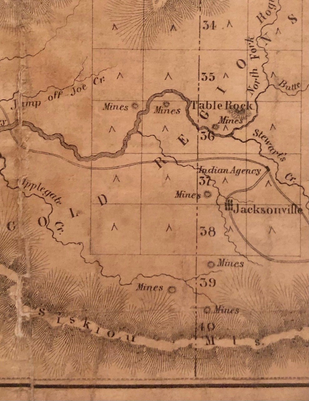
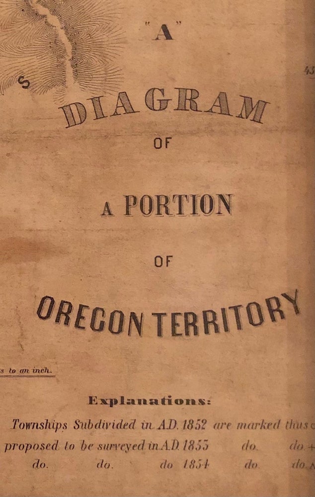
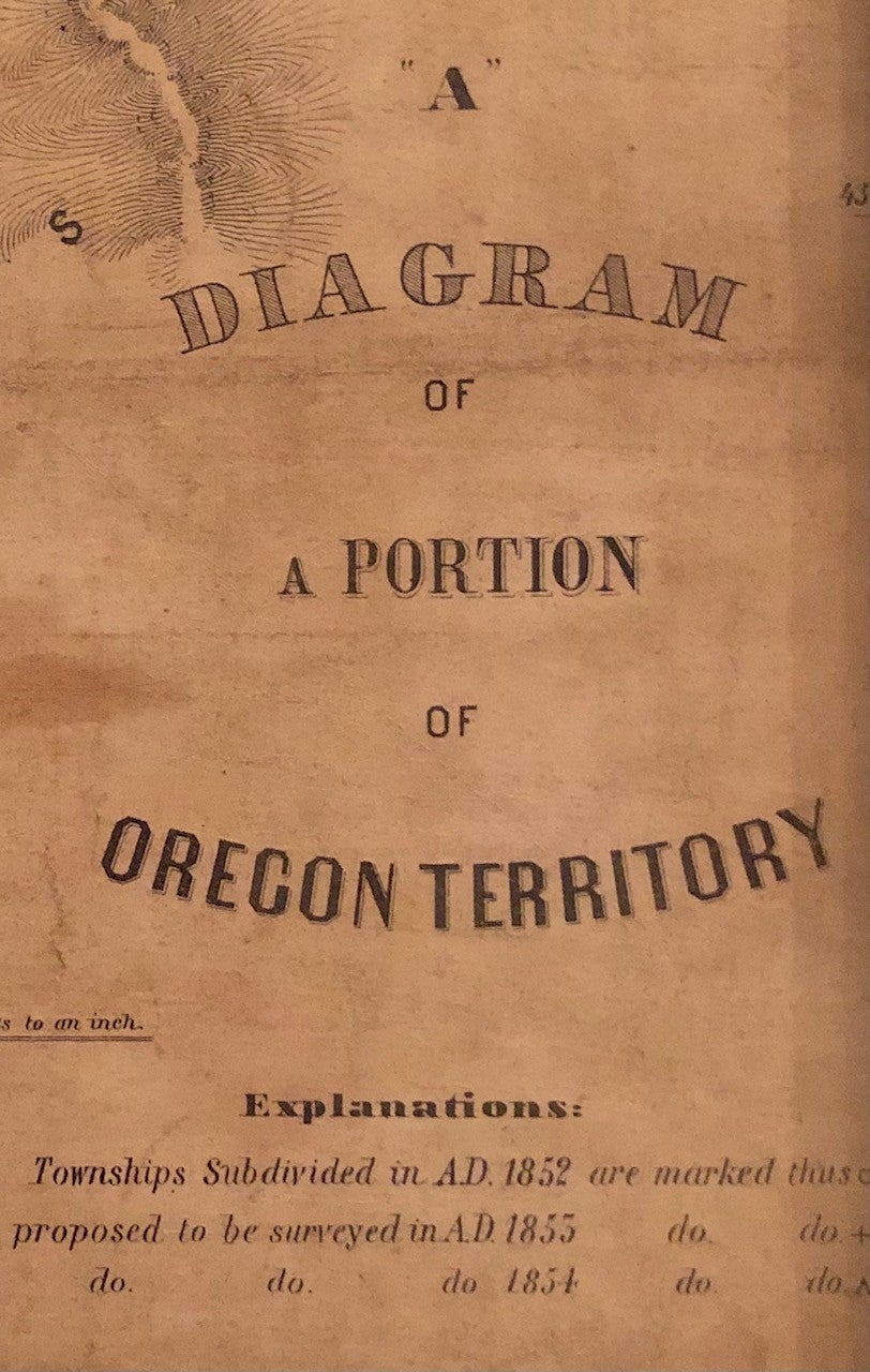
The Genesis of Mass Migration to the Pacific Northwest: A Diagram of a Portion of Oregon Territory -- FRAMED map
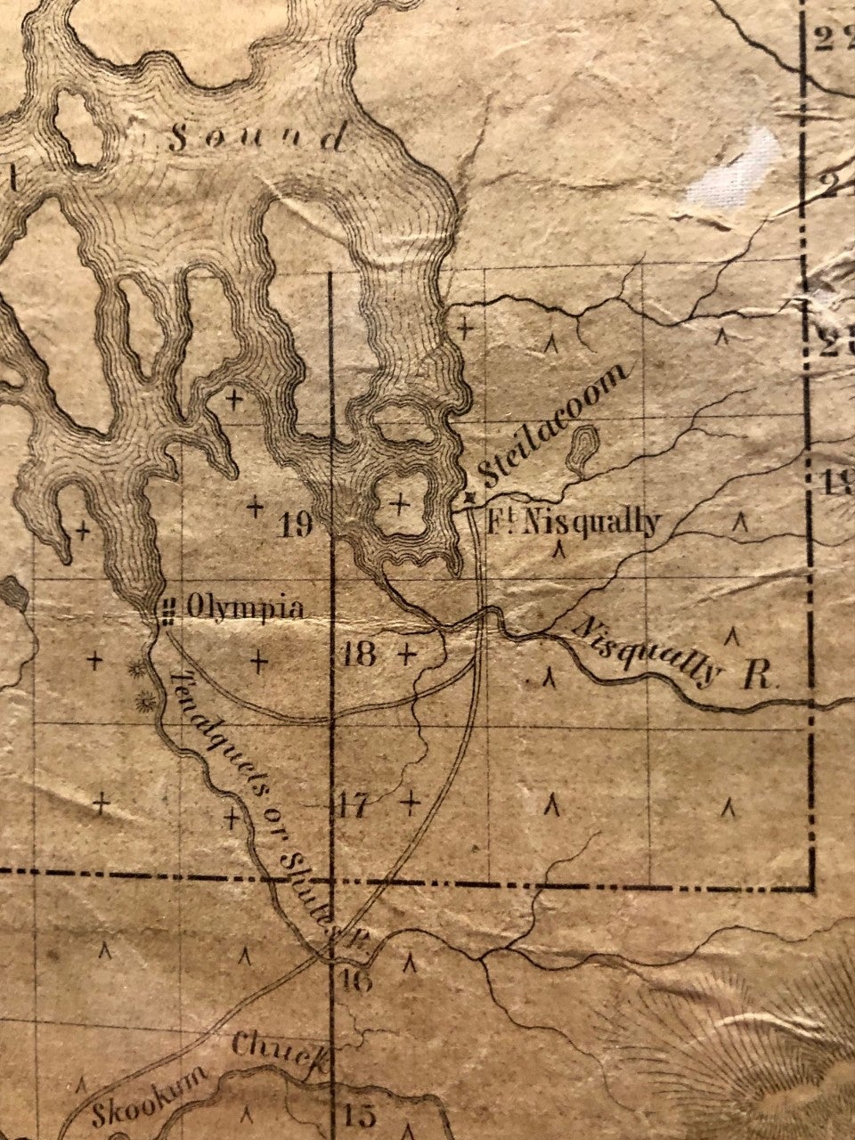
Washington D.C. U.S. General Land Office, 1852. Revised Edition. Single Sheet Map, Framed. Black and white map. Measures 15.75" x 47.5". Lithography by A. Hoen & Co., Baltimore. Old canvas backing. Substantially age-toned, with some slight loss and some breaks at old folds. Near Cape Flattery at the opening to the Strait of Juan de Fuca (here, “Straits”) two crude tape repairs have been applied, one 1.5" x 2” and the other a half-inch x 3”. Framed in thick mahogany moulding with UV-protection glass. Good. Item #4855 This map substantially revises the 1851 edition, providing detailed specificity including topographical and town place names. According to Derek Hayes in Historical Atlas of Washington and Oregon (U of Cal. Press, 2011), the Base Line and the Meridian Line cross just west of Portland at a monument called the Willamette Stone, placed on 4 June 1851. A few of the cities identified are Portland, Oregon City, Astoria, Salem, Fort Vancouver, Steilacoom, Fort Nisqually, Santiam City, Winchester, Olympia, Pacific City, Umpqua, and others. In addition, the map locates prospective township to be surveyed in 1853 and 1854. Whereas the 1851 edition extended only as far north as Olympia, this edition covers northward to Mount Baker and the southern tip of Vancouver Island. To the south, the map terminates at the O.T.-California border. The recently-opened gold mines at the Rogue River ("Rogue's River") are identified near Jacksonville and Table Rock. The rough condition of the map appears commensurate with a voyage across the Oregon Trail. Rare.
The impetus for the map dates from the 1850 Donation Land Act, allowing a married couple to claim 640 acres in the Oregon Territory. As those claims were to be based upon government surveys, the US government appointed John B. Preston as the first Surveyor General of Oregon Territory. In spring of 1851, Preston arrived in Oregon to begin his monumental task, and issued the first map, albeit inadequate in detail, later that year. After substantially more surveying, this detailed map was published to supercede the first edition.
Price: $2,750.00