
Scarce Pictorial Map of Seattle - "Seattle Awareness Map"
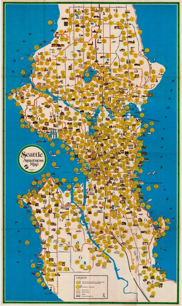
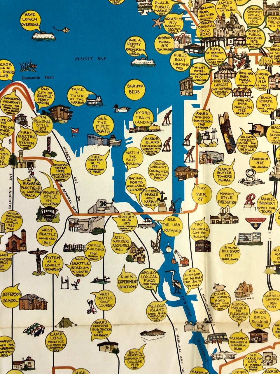
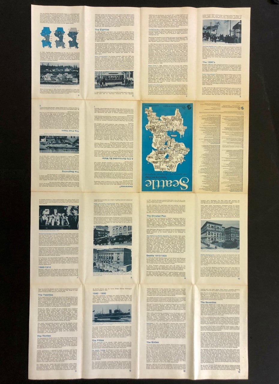
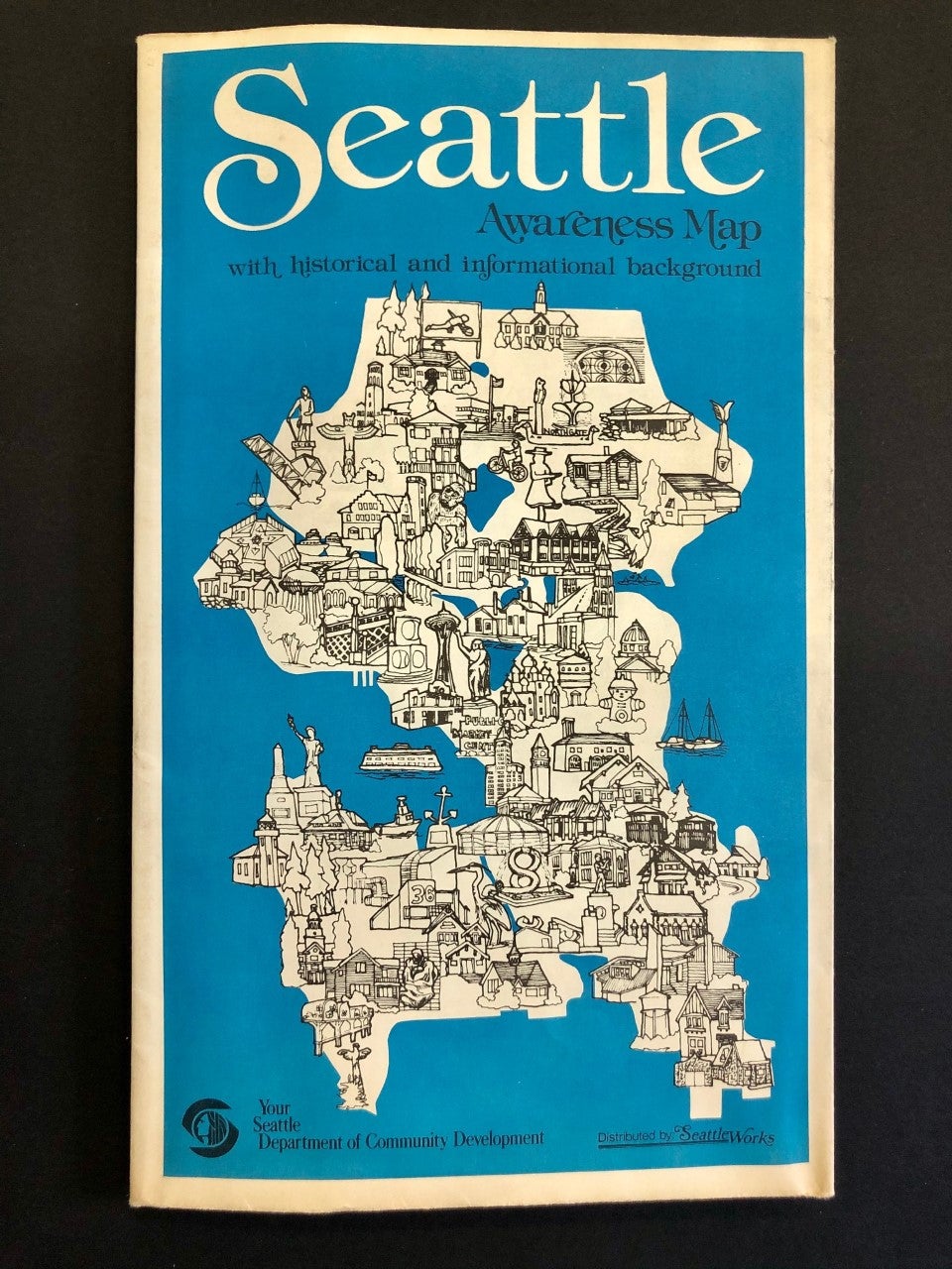
Seattle: City of Seattle, 1978. Anne W. Knight. First Printing. Single sheet measuring 26.25" x 44.5" (67 x 113 cm) folds to 7" x 11" (17 x 28 cm). Color map depicts Seattle's hourglass shape bordered on the west by Lake Washington, to the east by Puget Sound. Reverse features a narrative timeline of the city, along with historic photos and a key to points of interest. Slight age toning to the folded front and rear covers, and some pinholes at intersections of folds. Very Good. Item #2072 Historical and cultural facets of Seattle are emphasized through idiosyncratic 1970s design excess, using cartoon thought-bubbles for commentary. Produced by the city's Department of Community Development under Mayor Charles Royer, the map reveals the mores of 1970s culture. For example, the map features Seattle City Light's "Solar Powered Home" and "Experimental Wind Generator," harbingers of today's reality, along with landmarks, some obscure, of the city's history. OCLC locates two copies, one at the Seattle Public Library, the other at the University of Washington.
Price: $1,250.00