

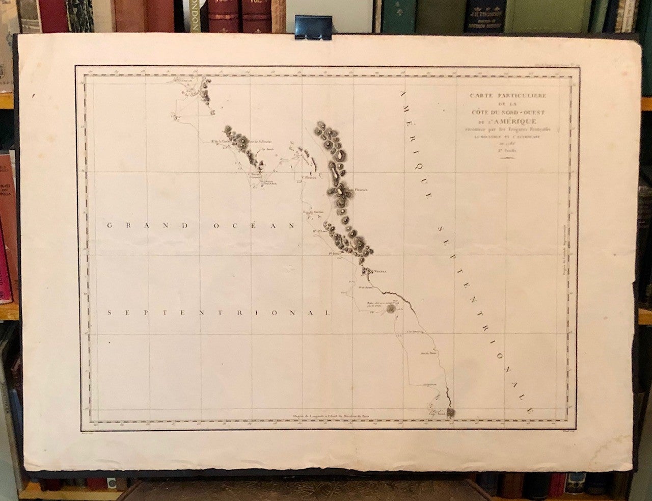
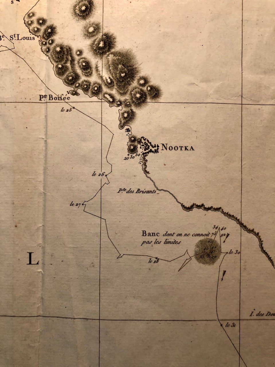
Carte Particuliere de la Côte du Nord-Ouest de l'Amérique Reconnue par les Frégates Françaises la Boussole et l'Astrolabe en 1786. 3e. Feuille
(Paris): Imprimerie de la République, (1797). Hérault / Bouclet. First Edition. Folio Leaf. Elephant Folio. Leaf measures 33.25" x 23.25" while the printed chart is 26.5" x 19.5". Fold at center, as issued. Condition is Very Good+ with very light foxing within the plate and slightly darker foxing in the top right margin. A dampstain the size of a fifty-cent piece at the lower right corner, outside the border rule and not affecting print impression. Very Good+. Item #151 This chart, covering the coastline from Cape Rond (Tillamook Head) northward to the Baie de Clonard (present-day Queen Charlotte Islands, or Haida Gwaii), was the only chart of the region other than works by or based on Cook's efforts. Three Spanish voyages, and Cook's third voyage, had visited the west coast of now-known Vancouver Island before La Pérouse. As depicted in this chart, the land mass is not yet known by the place-name "Vancouver," nor is it recognized as an island. LADA-MOCARSKI (52) claims the best charting by La Pérouse is on the Asian side of the Pacific. Indeed, it must be noted that La Pérouse, like Cook, missed both the Columbia River and the Strait of Juan de Fuca. See WAGNER, Cartography of the Northwest Coast of America, 840.
La Pérouse was France's answer to Captain James Cook. Directed by King Louis XVI to explore and chart the Pacific, in 1785 La Pérouse set sail from France with the frigates Boussole and Astrolabe ... and never returned. After years of speculation and expeditions sent in search of the ships, their 1788 shipwrecked-fate, in the South Seas, was finally ascertained. Prior to disappearing, La Pérouse dispatched a courier homeward, overland via Russia, with his narrative, charts, and artist-depictions, to-date. His achievements were published in 1797, including this chart.
Price: $250.00