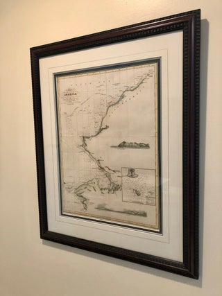
Chart of Part of the North West Coast of America, from Point Rodney to Point Barrow [Original FRAMED CHART]; in His Majesty's Ship Blossom assisted by Lieut. E. Belcher, Mr. T. Elsen, Master, M. Ja. Wolfe, Mate. AD 1826, 1827
London: Colburn & Bentley, 1831. First Edition. Framed under glass. Exposed chart measures 13" x 17 3/4". Hand-colored chart detailing part of the Bering (Beering) Strait and Kotzebue Sound. Expertly framed and matted. Old folds and a slight wrinkle, now flattened, off Point Hope, else Fine. Chart excised from BEECHEY.....